7/1/2021 Jeremy's Jaunts: Neff's to Wildcat Ridge
By Jeremy L. - SkyRun Staff and Wasatch Freshman
Being new to the Wasatch means I’m blissfully ignorant of the area's trails, terrain, potential views, and more. I don’t know where to find the incredibly smooth single track. I haven’t started to loathe a specific approach, nor do I have a favorite area to run. At this point, nearly every time I go out for a run, it’s on a new trail, and every bend reveals the unseen. This is a refreshing change of pace after 20 years of exploring the Cascades (although, in reality, I have yet to scratch the surface of those mountains.)

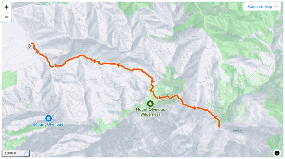
Needless to say, Neff’s Canyon was a blank slate in my mind. Coworker Calum suggested a lollipop loop in that area after I rejected a previous suggestion as too steep and short for what I wanted. The proposed route went up Neff’s, traversed the scrambly Wildcat Ridge to Desolation Trail, and then ascended Thayne’s Canyon to connect with the trail in Neff’s. I expected around 5k vert, 13 miles, and variable trails, including wide dirt roads, steep single track, and rocky ridgeline.
Passing Mt. Olympus trailhead on Wasatch Blvd, Calum mentioned the impressive number of cars overflowing out of the parking lot at 7:20 am on one of the hottest days of the year.
Wasangeles indeed.

Eventually, after taking the not-paying-attention way, we arrived at Neff’s Trailhead and were only the seventh or eighth car in the lot. That’s more like it.
A new trailhead for me, Neff’s is conveniently nestled at the mouth of the canyon in a quiet neighborhood. Also worth noting for future early-morning adventures is its lack of facilities. Preparing to depart, I fumbled with my running vest for ages while I swung my legs around as if to stretch them magically. At twenty to eight, we finally took off with a nice cool mountain breeze.
The run started on a rocky dirt road and soon passed the seemingly gratuitous water tower before splitting about a half mile later. To stay in Neffs proper, we took the left option, and then the trail soon steepened until it hit that Wasatch pitch I’m becoming accustomed to. You know, the steepness where conversations abruptly dwindle as the heart rate rapidly rises.
Gaining elevation, we passed through a beautiful evergreen forest dotted with aspens before the trail got rough and rocky, similar to the nearby creek but without the running water. This terrain could have been a scene right out of the Cascades, except there wouldn’t be any aspens. Oh, and there would’ve been running water on the trail and most likely raining.
Only a couple miles in, and we already seemed to have the place to ourselves. It's hard to believe one can feel so isolated, considering we were about a stone's throw from a million people.
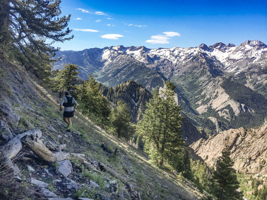
Three miles and 3000 feet of gain later, we made a right and headed toward Neffs Spring through a subalpine meadow with aspen stands and evergreens now thinning at elevation. Another half mile of patchy snow landed us on the saddle between Neff’s and Mill B North, where we took time to breathe and gaped at the entire ridge from the Broads Fork Twins to Superior. This is an amazing vantage point that the winter hadn’t afforded me last season.
From there, the route headed east under an unnamed peak and dwindled to nothing more than an indent in the hillside. Fresh footprints came and went. It eventually settled in about 50ft below a ridge, then trended up and met the Desolation trail at Porter Fork, where it became apparent we’d missed the scrambling section we’d hoped to hop on, thanks to trees obscuring the ridge.
Once on the divide, we headed north down the Desolation Trail into Millcreek drainage. However, we quickly lost the trail beneath a healthy blanket of snow lingering well into early June, so we retreated and opted to thrash our way back up to the ridge. Thankfully, once there, we got eyes on the scramble and another opportunity to try it out.
As we scrambled the Wildcat Ridge, I crossed paths with my first Wasatch rattler. Rattling loudly, I saw it curling up two feet to my left. Instinctively, I jumped to my right, snapped a few photos, and was off again - now slower with searching eyes.
The scrambling section was short but interesting. Slabs rise from the Porter Fork side to make a fun knife edge that’s not overly technical. A few trees made the route slightly discontinuous, so when we had to, we dropped down on the Mill B side or moved around the trees on the Porter side. The ridge ended too quickly and then dropped us back to the saddle and onto the main trail in Neff’s.
On the descent, we didn’t dwell on having to “bail” on the original plan. Instead, we navigated the snow patches, discussed Calum’s spirit animal (chocolate lab), and how to best balance school and work while still getting outside for mountain activities. We agreed that lots of early alarms and good scheduling were key, including an eleven o’clock start time at work (Thanks, SkyRun!).

Ultimately, I’d say that expectations for this run were exceeded and that Neffs delivers in several ways. The location of the trailhead couldn’t be better for this South Salt Laker. The tremendous beauty, quick access to elevation, and the ability to connect with other trails and move further into the mountains.
This is a sharp contrast to my life in Washington a year ago, where it would have taken me at least 90 minutes to get to a (paid!) trailhead to access the alpine in such short order.
For these reasons, I see myself revisiting this trail sooner than later and crossing paths with the upper portions of our route, whether from Millcreek or Big Cottonwood Canyons. Even though our run ended up being a few miles and vert short, I saw enough to know that there are many possibilities up there! In Salt Lake, having the amenities of city life intermingled with the ease of access - usually only enjoyed by mountain town residents - is sinking its teeth in me.
Comments

7/15/2021
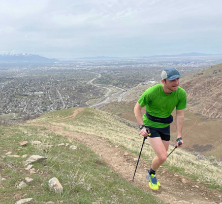
Trail Running with Poles?


